Showing posts with label Trekking. Show all posts

July 12, 2013

Trekking to the crash site of the RAF Liberator KL654R


First, let me tell you about a plane crash ... on the 23rd of August 1945, just several days after the end of WW2, the RAF Liberator KL654R (a B24 bomber of the South East Asia Command (SEAC) 356 Squadron) and 8 crew members took off from Cocos Island, about 1000km south of Sumatra heading towards Malaysia. They were on a mission to drop supplies and leaflets announcing the surrender of Japan and the end of the war. Sadly, it turned out to be their final mission ... the plane and its crew members crashed into the deep jungle of Negeri Sembilan.
The RAF Liberator KL654R (photo sourced from internet)
According to sources from the internet, the crash site was discovered by local orang asli during the 1950s and reported it to the authorities. However no action was taken to excavate the crash site until 1991 when a group of orang asli while gathering rattan stumbled upon main fuselage and took the plane’s machine guns to the Kuala Pilah police station. This prompted a military search which located the crash site with the help of a local orang asli called Pak Abu. Pak Abu originally heard the story of the Liberator crash from his father who actually saw black smoke and explosion of the plane as it crashed into the jungle.

Subsequently several groups organized various expeditions to the crash site and in 2007 MHG (Malaya Historical Group) together with Ed Macy (former Apache pilot) and Clayton Ford (police detective) made another expedition to the crash site. In this expedition, they did a thorough excavation of the site and discovered many bone fragments as well as personal items such as rings, spectacles, coins, dagger, dog tag and a water canteen.

Later the bone fragments were DNA tested to confirm their identities and on 18 October 2012, the remains of the 8 crew members of Liberator KL654R, Flight Lieutenant John Selwyn Watts, 158017, Flying Officer Edward Donald Mason, 166082, Flying Officer William Kenneth Dovey, 166352, Flight Sergeant Jack Blakey, 1582692, Flight Sergeant William Ross, 2213814, Flight Sergeant Raymond Arthur Towell, 1624252, Flying Officer J.T. Bromfield, 166369 and Flight Sergeant A. Turner, 1621393 were buried with full military honours at the Cheras Road Cemetery ... 67 years after they crashed.

The RAF Liberator KL654R's crew members buried with full military honours (photo sourced from the internet)
Now, about the trek ... from fellow trekkers we heard that there is a trail leading to the Liberator’s crash site and after gathering more information from the internet, we learned the trail starts from the peak of Gunung Telapak Buruk, a mountain in Negeri Sembilan. So, on the 6th of July, 2013 we decided to make an attempt to trek to the crash site.

Let me tell how to get to the peak of Gunung Telapak Buruk first. Take the LEKAS highway, head towards Ampangan and after getting out of Ampangan toll plaza drive pass Pantai and you will be driving on Route 86 heading towards Jelebu (Kuala Klawang).

Welcome to Jelebu District sign
On this route, look out for a small red Chinese temple by the road side on the left. As soon as you see the temple, slow down and about half a kilometer uphill, you will see a sign welcoming you to the Jelebu district ...TURN RIGHT HERE. Once you turned right, just before the sign, you will see a road going uphill ... this is the road to the peak of Gunung Telapak Buruk.

Road going up to the peak
Now, this road is 12km long all the way up and it is not a well maintained road so a 4-wheel drive vehicle will be very ideal ... if not, I suggest you drive an old car which you are not too worried when it is thumped by thuds and bumps on the long way up.

It takes about 40 minutes to drive carefully up to the peak of Gunung Telapak Buruk ... once you reached the peak you will see a few telecommunication towers and at the end of the road, right in front of you, there is an army facility which you are not allow to go further. There are painted oil barrels blocking the road and the facility is guarded by soldiers.

The trail starts from the left side of the fenced up telecommunication tower
Park your car here and you will see a fenced up telecommunication tower at the side of the road. If you are facing at the fenced up tower, the trail starts just on the left the tower, along the fence. Once you go in along the fence, you will get into the jungle and the trail starts downwards.

Fallen trees along the way
OK, back to the trek ... from what we heard, this trail is full of leeches ... so we came prepared and well ‘sprayed” all over with tobacco water and Baygon but my favorite is still MossiGuard ... proven to be very effective against leeches.

As we are trekking from the peak, we started downwards, beginning with a long slope. Then the trail evens out a bit before it comes to another slope. After that, the undulating trail goes up and down crossing a few valleys. There are plastic ribbon markers left by previous trekkers but because all of us were first timers to this trail, we left a paper trail as an additional safety measure. The trek was quite easy as we were mainly trekking downwards and apart from a few fallen trees and stubborn scrubs there were no major obstacles along the way. The cooling mountain breeze also reduced the humidity and made the trek a lot more enjoyable. Also, on this day, the birds were particularly merrier entertaining us with chirps and whistles all morning.

For most of the journey, we trek along the side of valleys and as we get deeper, we walked in the middle of ridges. Old school trekkers like us don’t carry gadgets ... so by experience we guessed (errr ... accuracy not guaranteed ya) we must have trekked about 7km after walking for about an hour and forty minutes when we came to a clear open area in the middle of a ridge.

Part of the aircraft's wing
We were told the location of the crash site is very near this open area. So, we started to look around and very soon, we saw it ... on the left just about 3 meters down the ridge, we saw a metal structure embedded into the ground and though rather battered, we can see that it is a section of the crashed aircraft’s wing. Then we saw a trail on the right of the open area ... this is the trail that leads to the main wreckage of the RAF Liberator KL654R at the bottom of the valley. The plane was believed to have hit a tree, broke a wing which was embedded on one side of the ridge and the rest of the plane crashed into the valley on the other side of the ridge.

The plane's tyre ... still inflated
We then trekked down about a hundred meters to the main wreckage and along the way we saw many metal airplane parts scattered everywhere. We can see this site has been cleared by previous visitors as it was quite easy to move along the wreckage looking at the various huge remnants of the RAF Liberator KL654R ... we saw what used to be the fuselage, a tyre which is still inflated (war plane tyres are inflated or solid?) and many other parts which we are not familiar with. There is a small stream (which is said to be the source and beginning of Sungai Muar) and moving along the stream we saw more parts of the wreckage ... a tail section of the plane with its ‘R’ alphabet, melted aluminium chunks (which give an idea how hot it must have burned when the plane crashed) and many other metal and aluminium parts of the plane.

The tail section of the plane

A part of the fuselage

Various parts of of the plane scattered around the crash site

We spent 45 exciting minutes looking around the wreckage and taking many photos of this historic crash site. Though we were all talking excitedly about the wreckage, I am very sure that there was a silent moment in our hearts where we pay tribute to the 8 crew members who perished in this unfortunate event.

A photo opportunity at the historic crash site

Checking out the wreckage

This is a huge part of the fuselage

Looking around the crash site

Taking plenty of photos

Group photo (L-R) ... Leong, Hoh, Choon Lan, Ooi, Shiek, Keat, Ms Yap and Ah Seng

 Then it was time to leave ... we climbed up to the open area and after a short rest and a quick bite, we then started to trek out of the jungle. By now it was already noon and the jungle air began to heat up and getting humid. We needed more rest stops as we were all quite tired trekking upwards to the peak of Gunung Telapak Buruk. It was a tough return leg ... especially the last couple of long upwards stretches. The first few of us took more than two hours to get out of the jungle and by the time we reached our vehicles, we were exhausted ... it took another twenty minutes for rest of the group to make it out safely.

After taking off our trekking gears and a short rest, we drove to a water source about halfway down for good cool wash and freshen up. By the time we cleaned ourselves, our empty stomachs were asking to be filled. As usual, a good exercise deserves a good reward ... wasting no time, we drove to Seremban town for a well-known delicious bowl of fish ball noodle.

On our way home, though quite tired, we were still talking excitingly about our trek. Not only did we spend a good day trekking and enjoying the nature ... we also visited a historic place, experienced a piece of its history and have a great story to tell our family and friends.

You know what? Gunung Telapak Buruk is definitely another mountain on my favorite trekking list.

April 22, 2013

A day at Gunung Ulu Semangkuk


It has been a while since we last trekked Gunung Ulu Semangkuk (must have been almost a year) … so it was a good change from trekking our regular or “favorite” mountains on morning of the 20th April, 2013.
At 6.00am, Ooi, Steven, Leong and I gathered at the usual meeting place in Puchong and from there we headed to OUG for breakfast … plenty of choices for good hawker food at the OUG wet market. After a satisfying breakfast, we headed towards Rawang to pick up two of our fellow trekkers.

95km to Kuala Lipis

First, for the benefits of those who have not been to this peak, let me give you some directions to the start of the trail coming from Kuala Kubu Bahru (KKB). From KKB head towards Fraser Hills and after passing the Sungai Selangor Dam, you will come to a long winding road going up to Fraser Hills … this road is quite a challenge to drive (especially for me driving a van without power steering).
  
Dilapidated shop
Now, along the road, you will see milestone markers with blue sign telling you how many kilometers to Kuala Lipis … you keep on driving until you reached the milestone marker that says 95km to Kuala Lipis … here you will also see a dilapidated wooden shop … this is exactly where the trail head starts. You can find the trail head to Gunung Ulu Semangkuk beside the road just opposite this milestone marker … it is a bit obscure but as you get nearer you can see it … someone did put up a laminated sign calling it the entrance to Gunung GAP (and to Gunung Ulu Semangkuk).

OK, back to our trekking story … after picking up the Ah Seng and Ms Yap at Rawang, we drove leisurely towards Fraser Hills and reached the abandoned GAP Resthouse at 8.30am. Seems like we are the only group trekking Gunung Ulu Semangkuk that day.

Steven Chin ... slow & steady
After putting on our gears we started to trek into the jungle from the roadside. Trekkers will initially trek through a fairly large bamboo forest … in a few areas, one needs to ‘duck walk” under the bamboo trunks fallen across the trail … the trail is straight up all the way to Gunung GAP first. 

It was quite tough for Steven who has not trekked for more than 3 months … but the breezy cool air made it a bit easier. As usual Ah Seng and Ms Yap were the fast ones … just about 10 minutes into the trek, I could not see them in front of me anymore … by their speed they must have been at least a few hundred meters ahead. About 40 minutes into the trek, I reached the peak of Gunung GAP followed by Ooi … both of us took a short breather before proceeding to Gunung Ulu Semangkuk without waiting for Leong and Steven.

Fallen trees along the trail
The trail from Gunung GAP to Gunung Ulu Semangkuk is quite undulating … we have to trek down and up a few valleys. Some parts of the trail are quite flat and easy … many will take the opportunity on these stretches to relax a bit and catch their breaths before challenging other steep slopes.

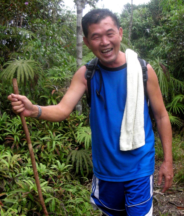
Ooi ... happy as always
About 10 minutes from Gunung GAP, I noticed that Ooi was not behind me anymore … he must have slowed down a bit along this trail. I kept on walking slowly and clearing the way for those behind. There were a couple sections along the trail where fallen trees blocked the trail … so one will have to crawl under the fallen trees at these spots. Finally I reached the last valley … the “V” point as we like to call it … this is the last steep slope or the last stretch up to the peak of Gunung Ulu Semangkuk … the peak is just about a hundred meters straight up from this point. Trekking slowly and carefully up this final steep slope, I reached the peak of Gunung Ulu Semangkuk … just short of 2 hours in total. Ah Seng and Ms Yap were already enjoying their meals there … the weather couldn’t be any better … cool, misty and breezy.

Ms Yap & Ah Seng enjoying their meals
At the very top of Gunung Ulu Semangkuk
 A while later, Ooi and Leong joined us at the peak … finally about 20 minutes later, Steven made it to the peak … though tired but I can tell that his feeling of accomplishment was very satisfying. As usual we joked and laugh about experience along the trail. We rested for a while and went over to the other side of the peak where we can view the surrounding mountains and see the buildings on the nearby Fraser Hills. After about 30 minutes on the peak and we decided to descend … we know it will be a bit tough as we are all quite tired and have a few valleys to climb up and down again as we trek out but it was nothing we cannot handle.

All smiles ... group photo for the record
Elevation of Gunung Ulu Semangkuk ... sourced from the internet

A nice design by nature
It took us just about an hour and a half to get out of the jungle … slightly longer for Leong and Steven. All of us were quite happy to complete the trek and the next thing was to get cleaned up at a nearby waterfall. As expected, only a few of us dared to challenge the freezing waters … it was a good “freeze” for some of us and others just settled for swipes and splashes of the cold waters.

Only a few of us dared to challenge the freezing waters
After freshening up, our stomachs were already calling to be filled. Tasty food awaits us at Ulu Yam … a delicious steamed tilapia with pickled raddish, petai fried with ikan bilis and onions, stir-fried freshly picked vegetables, lala (clams) fried with garlic and chilli padi and of course a large bowl of special Ulu Yam “lor meen” with additional vinegar … YUM YUM !!!

On the slow relaxing drive back home, I can say we all agreed on one thing … can’t ask for anything better … a good exercise, a good outing to enjoy the nature, a great sense of accomplishment, good food and plenty of laughs on a good day spent with a bunch of good friends … that’s what life is all about !

October 27, 2011

Trekking Gunung Ulu Semangkuk

>
Gunung Ulu Semangkuk is not a popular (among local trekkers) mountain located in Ulu Teranum Forest Reserve in Fraser’s Hill. Only a handful of trekkers ventured to this peak  … not much information can be found on the internet with regards to this mountain. We first trekked this mountain sometime last year after coming across some information from the internet. Subsequently we went there again a couple of times last year.

On 15th October 2011 we decided to trek Semangkuk again after a few fellow trekkers who have not been to this place requested us to show them the trail … so off we go. Five of us met early at 6.00am in Puchong and another group will meet us at the GAP traffic exchange point in Fraser’s Hill (GAP is the place where vehicles take turns to use the one-way road up and down Fraser’s Hill… traffic going up is at odd hours and traffic coming down is at even hours). First we drove to Rawang town for breakfast and then proceed towards Fraser’s Hill driving through Kuala Kubu Bahru. When we reached GAP traffic exchange point, the other group of 4 trekkers were already there. We quickly put on our trekking gears and head to the entry point of the trail leading to Gunung Semangkuk.
>
The entrance of the trail is just opposite this wooden house ... those new to this trail have to search for it among the ferns and bushes

Group photo ... the entrance of the trail is just behind us

 The entry point of the trail is just opposite the abandoned wooden house (used to be a restaurant) about 200 meters before the GAP traffic exchange point … quite obscure hidden by ferns and bushes. It is a small slope straight up into a fairly dense bamboo forest. From the thick vegetation and fallen bamboo trunks, we guessed that this trail has not been trekked for a while. It was a bit of a hassle going through the bamboo forest but after going through it, the trail starts to get easier with a few fallen trees along the trail. At this altitude, the air is cool and misty … the trail is straight up to a lower peak of Gunung GAP … it took us about 45 minutes to reach the peak of Gunung GAP where we rested for a while. From our previous experience, we knew from Gunung GAP, the trail will go up and down through a few valleys before reaching our targeted peak … about 2 hours of trekking to go.

(Left photo) First timer Mr Ooi getting through fallen bamboo trunks
(Right photo) Ms Yap and husband Ah Seng trekking up a slope

 (Left photo) Mr Ong and I sharing a joke
(Right photo) Lim Chin Keat taking a quick rest

(Left photo) Mr Ho ... slow and steady
(Right photo) Ms Yap, Ah Seng, Johnson and Mr Ong

We saw plenty of bamboo shoots along the trail and a sign board telling us that we are in Ulu Teranum Forest Reserve

After a short rest we trek down a valley from GAP peak and heads towards Gunung Ulu Semangkuk … the trail is fairly clear with some old tape markings still visible. We were quite happy to enjoy the cool, misty and breezy walk in the middle of the forest full of penetrating mid morning sun rays … what a good way to enjoy the great nature! We have to trek though a few valleys, occasionally greeted by fallen trees and a few tricky slopes … nothing we cannot handle. And after about one and a half hours we reached a deep valley … from this valley, the trail is a fairly tough straight climb up to the peak of Gunung Ulu Semangkuk. We tackled the valley carefully and then trek straight up to the peak … finally after one hour and forty minutes, we arrived at the peak of Gunung Ulu Semangkuk … 1,394m ASL (source from Internet).

 An elevation layout of the trail going up to Gunung Ulu Semangkuk (source from the internet)

Not much has changed at the peak since our last trek here many months ago … maybe it is because not many trekkers visited to this peak. From the peak, there isn’t much to see as the surrounding view is blocked by trees and other vegetation. A short trail leads to another side of the peak where the view is better … we can see the surrounding mountains of the Titiwangsa range.
 
 Mr Ooi and Steven Chin happy to make it to the peak

 Group photo at the peak of Gunung Ulu Semangkuk

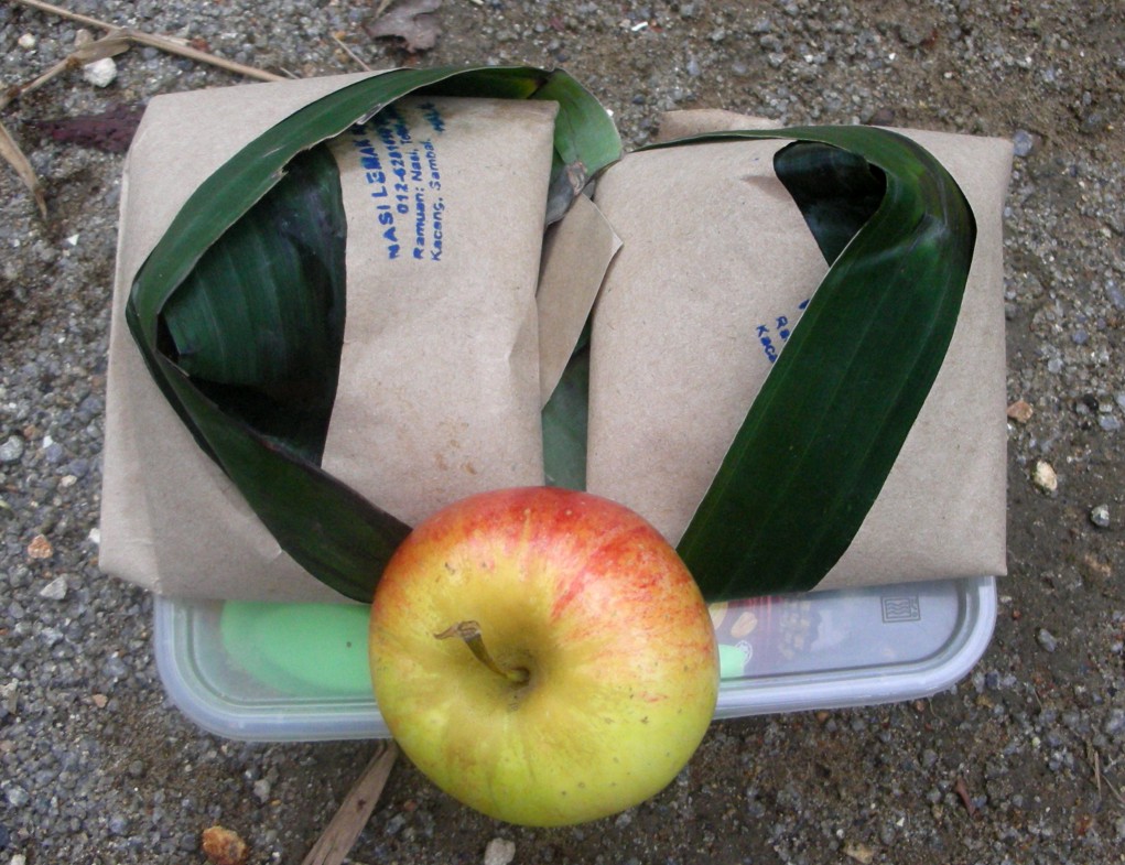
We rested at the peak and had our lunch … my RM1.00 nasi lemak daun pisang tasted especially good after being carried up almost 3 hours to the peak. All of us enjoyed trekking Gunung Ulu Semangkuk although the travelling distance is quite long coming from PJ/Subang area. At the peak, we exchanged views and opinions of the trail and as usual cracked some jokes and laughs. Then it was time to descend … after cleaning up and packing our stuffs, we descended quickly. The descent was not a problem to all of us and in about 2 hours we made it out of the forest safely.

 The freezing waterfall where we freshened up

We then drove down a few kilometers to a waterfall to clean up … the freezing water was a bit too much for some while others had a splashing time.

Like all our trekking outings, a good trek will end with good food and there are plenty of good restaurants in both Kuala Kubu Bahru and nearby Ulu Yam. We decided to have an early dinner at Kuala Kubu Bahru … a good dinner it was … we filled our stomachs with a table full of recommended local dishes … a great finale to a good trekking outing.

July 17, 2011

Bukit Kutu ... interesting story from an Englishman

>
Bukit Kutu is one of the favourite mountains on our trekking list … a very nice natural trail as well as a clear river to enjoy a cool dip after a long tiring trek. Since we started trekking at Bukit Kutu, we have visited this mountain almost every month.

On 25th JUNE 2011, Steven, Keat, GT Lim, Leong and I decided to trek Bukit Kutu again … we thought it would be as usual … trekking up to the peak and down and then hopefully find some good durians in the jungle. It turned out to be a little more meaningful than we thought. When we reached the base we saw a group of people already getting ready to trek up the mountain. As we were getting our gears ready, we struck up a conversation the group, among them a “Mat Salleh” (westerner). I later found out that his name is Tony Wright. The conversation was fairly general and we then started to trek into the jungle together.

After trekking for a while I asked Tony where he is from and he told me that he is from Plymouth, England. And knowing that he is an Englishman, I told him that he will surely love this mountain because at the peak of the mountain there are remnants of an old colonial bungalow. Then the surprise came … Tony said he knew about the old bungalow at the peak and he has photos of his grandparent (taken back in the 1920s) staying at the bungalow. Now, that is really something ... imagine coming from England to see the place (or what is left of it) where your grandparent once stood. I told Tony that I would be very glad if he can show me the photos when we reach the peak. I have always try to find out more about the remnants of the old bungalow but there isn’t much information I could get from on the internet or other sources.

We continued trekking and I was really looking forward to look at the photos that Tony brought along. About two and a half hours later, I reached the peak together with Leong. We spent some time at the peak and waited for the rest of my group as well as Tony’s group to reach the peak. I soon found out that the other three from my group are not trekking up to the peak and I was not sure how long Tony’s group will take to reach the peak, so, Leong and I decided to trek down. Just about 5 minutes into the descent we met with Tony and his group on the way up. I asked Tony if he could show me the photos he talked about and he quickly took the photos out to show me. Tony took time to explain to me the story behind each photo and what he knew of his grandparent and the old bungalow. I then ask Tony if he could send me a copy of the photos and he promised he will. We exchanged emails and soon parted ways.
 
The next day I received an email from Tony with photos attached and more information. The black and white photos below were contributed by Tony.

 Photo of the bungalow with Tony's grandfather sitting in front ... see the steps going into the bungalow and see below the same steps as they remain today at the peak of Bukit Kutu.
(Photo contributed by Mr Tony Wright) 

Remnants of the steps at the main entrance of the bungalow.

This is the fireplace (chimney) of the bungalow as it was in the 1920s ... this is the iconic picture as today this chimney still remain standing at the peak of Bukit Kutu.
(Photo contributed by Mr Tony Wright)

The chimney of the bungalow still standing as it is today. This structure has become the setting of many group photos of people visiting the peak of Bukit Kutu today.

The chimney and the main entrance steps.

 Another old photo of the bungalow seen from behind of the big rock at the peak of the Bukit Kutu.
(Photo contributed by Mr Tony Wright)

From his own research, Tony managed to piece together bits and pieces … besides the bungalow, there was also a sanatorium at the peak of Bukit Kutu. Tony has no pictures of the sanatorium but members of the sanatorium were friends of his grandparent and he has a photo of a Sister Sutton and his grandmother taken at the vicinity of the bungalow. Tony told me that the British built rest houses and holiday bungalows all around Malaysia so that government servants like Tony’s (maternal) grandfather can book them for rest and relaxation during holidays and weekends. Tony’s grandfather, Mr Tom Sargent, was a railway construction engineer for FMSR (Federated Malay States Railways) later known as KTMB from 1908 till 1935 when he retired and went back to England. The above photos were taken back in 1921 … 90 years ago! The iconic photo must be the photo of the fireplace and chimney as it still remain standing today and has become the setting for group photo of trekkers visiting the peak of Bukit Kutu.

Photo of Tony's grandmother (sitting) with Sister Sutton (who was working at the sanatorium). You can still find these two big rocks among the overgrown vegetation at the peak of Bukit Kutu.
(Photo contributed by Mr Tony Wright)

 Mr Tony Wright (second from right) showing photos to other trekkers at the peak of Bukit Kutu. The old photos of the bungalow created massive interest among the trekkers.

Apart from Bukit Kutu, Tony travelled to KL, Tanjung Malim, Seremban, JB, Mersing, Melaka, Penang … visiting and matching his grandfather's pictures of places where they either lived or visited during their long stay here many years ago. One can imagine what a wonderful experience this is, in a country which Tony has been visiting since 1988. It has deepened his love, knowledge and understanding immeasurably through this photographic journey to the past.

I am really glad to have met Tony … if not, I would not have learned so much more about Bukit Kutu and about his meaningful journey in Malaysia … thank you very much Tony for the photos and a little bit of history of Bukit Kutu
>